
Walk a Bloomington Street
Begin with the exact delivery address, including its directional letter, street type, and unit. A street name alone can cross the city boundary or touch more than one parcel. The Monroe County Beacon viewer converts the address into a mapped parcel and stable identifiers. From there, official sources can be checked in a useful order. Each one answers a narrower question than “who lives here.”
- Resolve the address in Beacon and capture the PIN, tax ID, property address, legal lot or subdivision, owner, and owner mailing field.
- Pan along the same road and identify each parcel separately. Apartments, split parcels, and corner lots should not be merged.
- Compare the Assessor card and LowTaxInfo record. Note the owner, assessed property, current bill, and search date.
- Carry the owner name and legal description to the Monroe Recorder. Search the latest deed, then inspect the instrument rather than relying on an index line.
- Use the Indiana voter portal only for an identified voter, and use dated street-arranged city directories for older occupants.
This sequence separates title, assessment, registration, and publication evidence. A current owner may not occupy the property. A voter record may lag a move. A directory entry states what was printed for one year. The street directory becomes stronger when two independent sources agree and their dates are close.
Bloomington Street Fields in Beacon
Monroe County moved from Elevate to Schneider Beacon during the winter 2024 transition. Older library instructions may still show the retired system, so use the county’s current GIS Division page. Beacon supports name, address, and parcel searches, plus map identify, selection, print, and layer controls. The county ArcGIS parcel layer documents the most useful fields.
| Field | Use in a street search | Key caution |
|---|---|---|
| Property_Street, PropCity, PropertyZip | Identifies the mapped property or situs address | It is not the owner’s mailing address |
| Owner, Owner_Street, Owner_City_ST_ZIP | Shows the tax-roll owner and mailing destination | Ownership does not establish occupancy |
| PIN_18 and TAX_10 | Provides stable parcel and tax keys | Confirm the correct parcel after a split or combination |
| Subdivision, block, lot, section, range | Connects the map to deeds, plats, and surveys | Legal records control over map lines |
| School, tax, and corporate boundaries | Adds jurisdiction context | These layers do not define postal delivery |
The official parcel-layer field list is especially helpful when a map label is unclear. County GIS warns that its lines are approximate. Deeds, plats, surveys, and legal descriptions remain controlling records.
The live parcel layout can be previewed through the county source below.
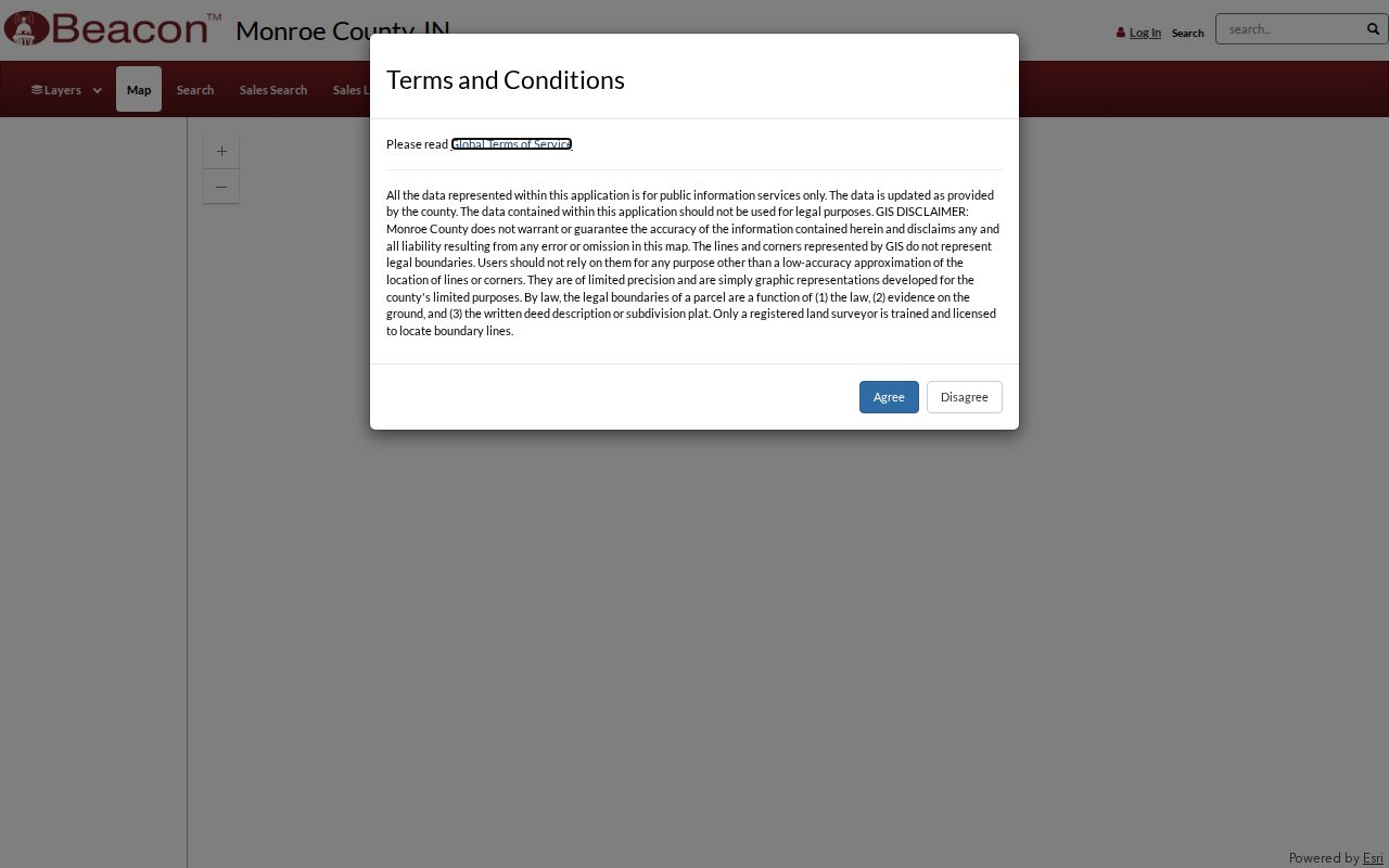
The viewer’s parcel-first structure explains why a street search should save the parcel key before moving to deeds or tax records.
Bloomington Owner and Situs Split
One of Monroe County’s most useful details is also an easy source of error. The parcel data keeps the owner’s mailing fields separate from the property street fields. “Situs” means the physical place being assessed. An owner can receive tax mail in another city or state while owning a Bloomington parcel. The reverse is also possible: a Bloomington mailing line does not prove that the owner lives at the mapped property.
- Parcel
- A mapped unit of land with a county identification number.
- Situs address
- The physical address assigned to the property, distinct from a tax mailing address.
- Plat
- A recorded map showing lots, blocks, boundaries, or a subdivision.
- Criss-cross directory
- An address-arranged directory that lets a reader move from street and house number to a dated listed name.
Keep those columns separate in notes. This simple habit prevents the most common by-address mistake and helps distinguish an absentee owner from an address that was entered incorrectly.
Note: A homestead indicator may support an owner-occupied use, but it still does not prove who is present at the address now.
Bloomington Street Records Compared
The strongest Bloomington street directory uses several address-keyed sources without treating them as interchangeable. The Assessor and GIS describe a parcel. The Treasurer adds a tax snapshot. Recorded instruments document legal interests. City systems add location-based civic activity. Historical directories provide a dated listing rather than a live roster.
| Address source | Official keeper | Street evidence | How to reach it |
|---|---|---|---|
| Property card | Monroe County Assessor | Owner, characteristics, value, sales context | GIS/property search or office card request |
| Parcel map | Monroe County GIS | PIN, situs, mailing, lot, boundaries, adjacent parcels | Beacon, REST layer, or GIS office |
| Tax record | Monroe County Treasurer | Owner, property address, parcel, duplicate number, bill history | LowTaxInfo or Treasurer |
| Recorded instruments | Monroe County Recorder | Deeds, liens, mortgages, plats, surveys, party roles | Doxpop from January 1991; office and archives earlier |
| Voter registration | Monroe Clerk and Indiana election offices | A registration relationship for an identified voter | Indiana Voters or VRG-24 request, with redactions |
| City and county cases | Planning, Building, BPD, uReport | Address, project, public case, date, status | Portal, meeting file, or specific APRA request |
Sales data on the Assessor site is stated from 2008 forward. LowTaxInfo says its data updates nightly and its property history reaches pay year 2016. Those dates describe portal depth, not the age of the land record. Save the date searched, since current ownership and tax fields can change.
PIN Bridges Bloomington Deed Records
A street address is not the Recorder’s best historical key. The Monroe County Recorder access page explains that Doxpop covers recorded documents from January 1991 forward. Searches center on party names and short legal descriptions. Start with the parcel’s current owner and legal description, locate the purchase deed, then compare its instrument number, recording date, parcel reference, and image.
The seller named as grantor becomes the next lead. Search that seller as a grantee to move one transfer farther back. If a changed street number stops producing results, the lot, block, subdivision, or section-township-range description can hold the chain together. Doxpop allows six free resident searches per month. Older material requires the Recorder’s counter, a staff search or copy request, historical indexes, or an archive. The county says deed copies are $1 per page or image and most deeds are one to three pages, but current fees should be confirmed before payment.
Recorded deeds show legal transfers, not a list of all occupants. Mortgages, liens, plats, surveys, powers of attorney, and assumed-name filings may add context, yet each instrument must be read for its actual role.
Check Bloomington Parcels Nightly
The Treasurer’s LowTaxInfo search accepts an owner name, property address, state parcel number, or duplicate number. It provides another way to confirm that the street address and parcel key were copied correctly. Prior-year views and a printable current bill can show whether a mismatch comes from stale notes rather than the map.
The Monroe County property-tax portal is shown below. It complements the street directory but does not replace a deed or establish who occupies the property.
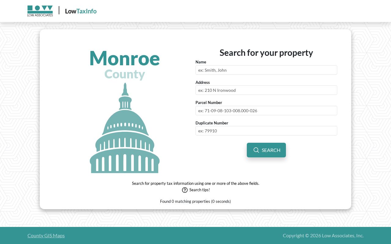
Use its owner and address results as a cross-check, then return to the Recorder for title evidence and to dated directories for historical listed occupants.
Bloomington Street Cases by Address
City and county activity can date changes on a block. Bloomington uReport exposes location, coordinates, city, state, ZIP, neighborhood association, township, category, department, status, and case date. Planning or board packets can name a parcel, applicant, owner, representative, site plan, comments, and decision. These are case records, not resident lists.
County Building and Planning use OpenGov/ViewPoint for applications, and that route requires an account. A complete public historical permit index was not confirmed. For a known permit or code case, ask for the existing file by exact address, PIN, date span, and record type under the Indiana Access to Public Records Act. City-limit construction matters may instead be held by Bloomington Planning and Transportation. The custodian depends on jurisdiction.
Bloomington Police public-information requests can also use a street, block range, date span, or case number for public logs, reports, or statistics. Investigatory and protected material may be withheld. A narrow request is more useful than asking an office to create a directory of everyone on a road.
Note: Identify the government unit and date range before requesting an address file; city limits, postal names, and county jurisdiction do not always match.
Map Old Bloomington Street Numbers
Bloomington’s street trail can break when a number, boundary, or parcel changes. The Monroe County Public Library house-history method pairs directories with Sanborn fire-insurance maps, plats, the 1876 atlas, the Mapping Monroe County project, and current GIS. Sanborn coverage identified in the research includes 1883, 1887, 1892, 1898, 1907, 1913, 1927, and 1927–1937.
These maps show structures, use, building material, height, street width, block numbers, and some house numbers. They do not establish title or occupancy. Compare a map sheet with street-arranged directory pages from nearby years, then carry the old and new address forms into the deed index. No single official Monroe street-renumbering chronology was found, so year-by-year evidence matters.
This Bloomington street directory technique is especially valuable for a structure that predates its current postal form. Preserve the map year, sheet, source repository, historic address, modern address, and reason for the match.
Bloomington Voter Address Limits
The Indiana Voters portal confirms registration and polling details for an identified voter using name, birth date, and county information. It is not a block roster. Monroe County maintains the underlying record through the Clerk and election office. A broader voter-data request uses State Form VRG-24 and is subject to public-field limits, redaction, county policy, and use restrictions.
Registration status can be Pending, Active, Inactive, or Cancelled. Status and registration date matter because a voter record does not prove that someone is now at an address. Indiana’s Address Confidentiality Program also protects eligible participants through a substitute address and confidential voter data. Never try to defeat that protection by joining parcel, voter, and directory records.
Read Bloomington Parcel Fields
The county’s published ArcGIS schema makes the street-by-street data model visible, including separate owner and property ZIP fields, subdivision and lot values, tax district, school zone, corporate boundary, and geometry.
The Monroe parcel service is captured below for reference.
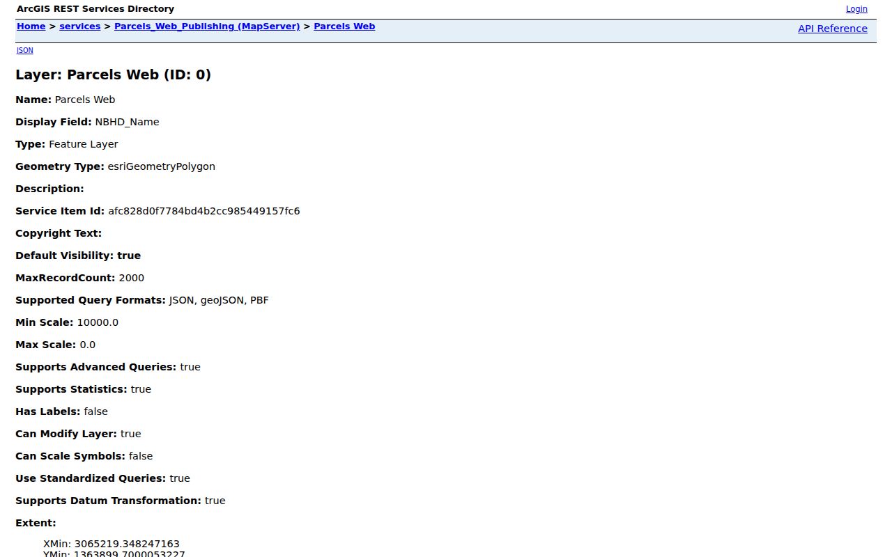
The field separation reinforces the central rule: an owner name, mailing destination, physical address, and mapped boundary describe different facts.
Limits of Bloomington Street Records
A Bloomington street directory cannot name every person in a home. Parcel data identifies an owner or mailing record. A directory captures a dated publication entry. Voter data reflects a registration relationship and has protected fields. Utility customers, household members, people using a substitute address, and many occupants are not established by a parcel map.
Absence is not proof. A person may be omitted because a source covers only city-limit addresses, a publication date falls between moves, a name was spelled differently, or the record is confidential. Likewise, an owner field cannot be turned into a claim that someone is physically present. Verify important facts with the office that holds the record and keep uncertainty in the notes.
Lawful use. Bloomington address records are for lawful personal research. Never use them to stalk, harass, intimidate, or expose a protected address.